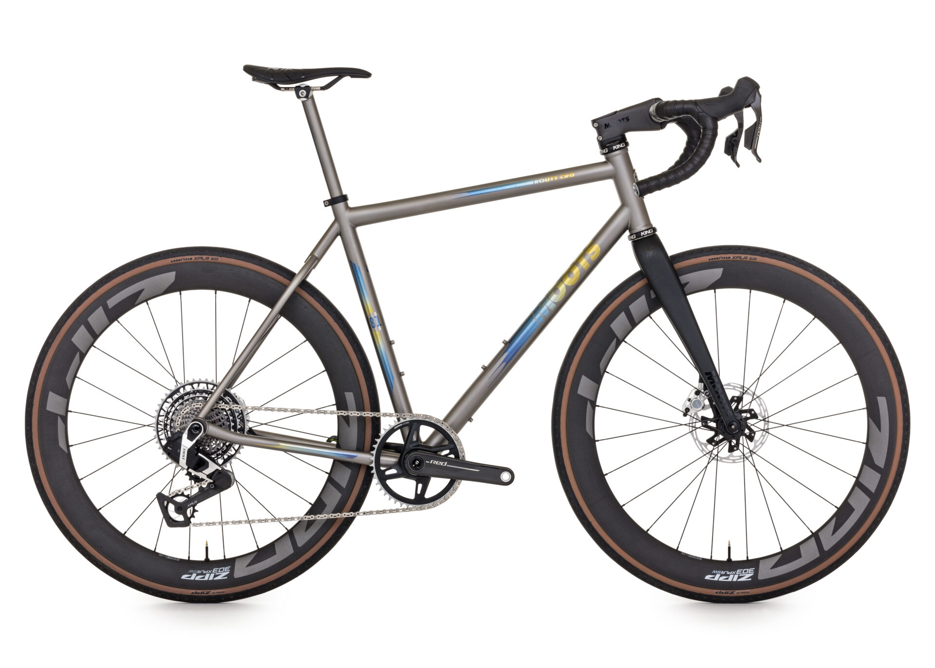
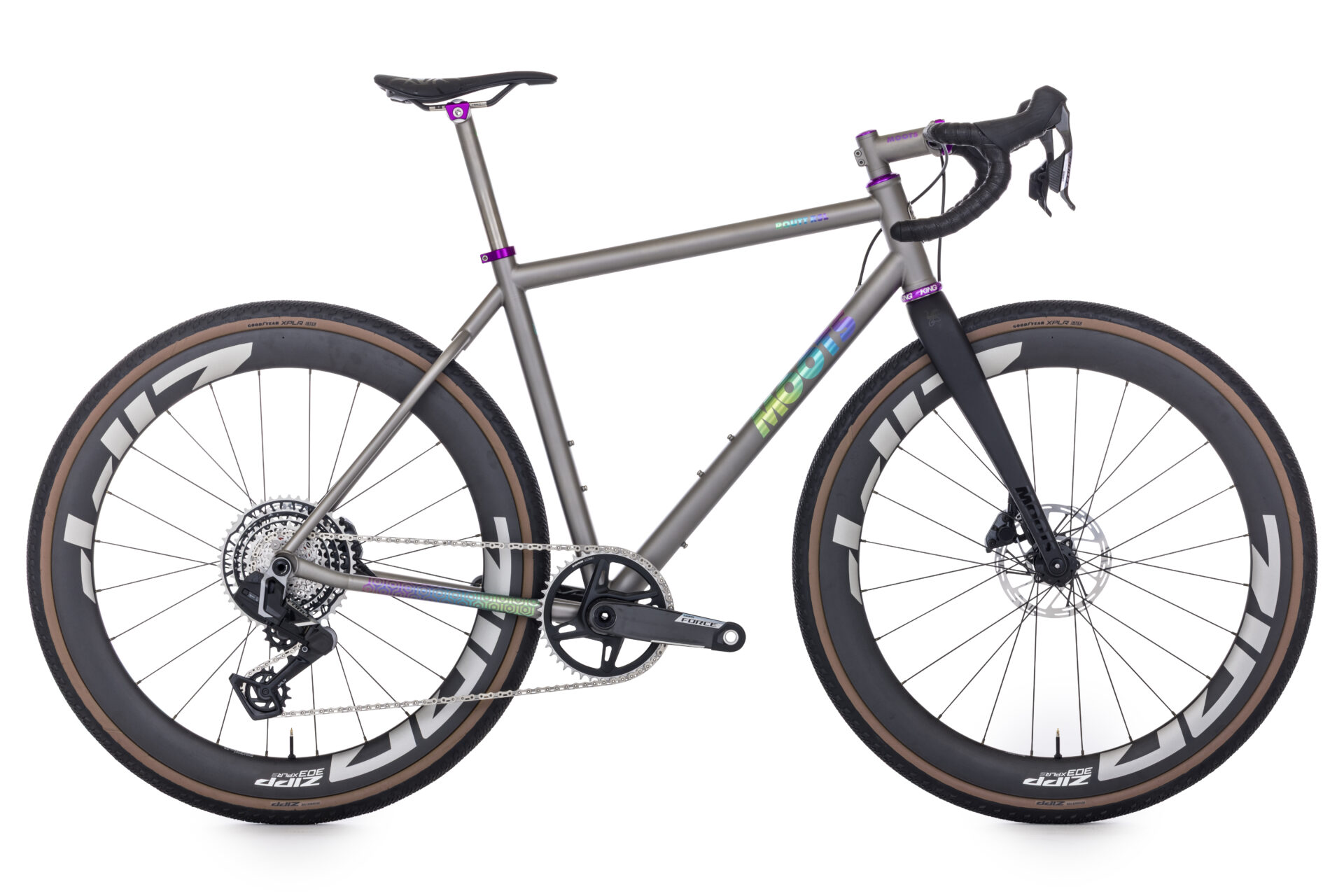
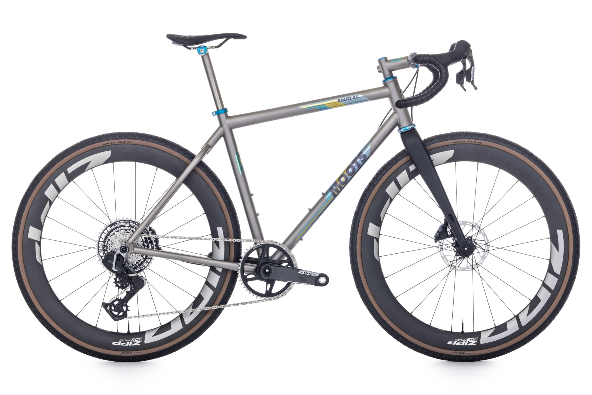
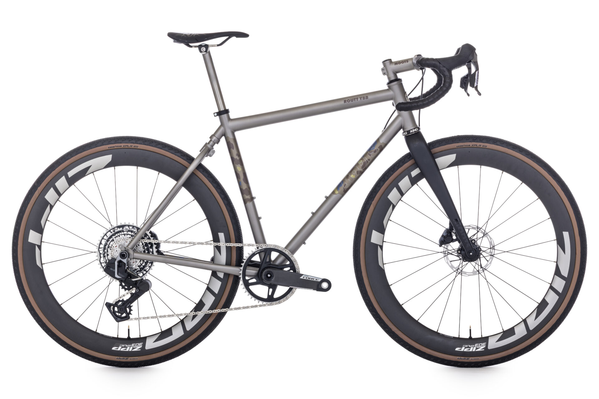
The plan was hatched in the hallways of Moots several weeks ago…..From the comfort of our facility I half heartily joked about how we should go ride the west side of Rocky Mountain National Park before they opened the roads to cars. Around Moots you have to be careful of offering up nutty ride ideas, because there are more than a few people in the building that will take you up on it. So I had let those words slip out of my mouth as Nate and Matt stood there and before I could finish, they each said; “I’m in.”….”Well alright then” I thought, gotta follow through with this….can’t look like “that guy” that proposes a ride and flakes. So, we put a time frame on the calendar, May 26th would be the last day the park was car free, so it had to happen before that….we watched the weather over the weekend and a short message to Nate and Matt on Sunday night and we were all in for a Monday morning assault to 12,183 feet above sea level. We would need an alpine-ish start time to drive the 93 miles to the park from Steamboat, ascend to 12,183 and descend before any type of weather might move in…….these are some of the photos we took, short descriptions and the bike each of us chose for the ride.
The wake up call at 4:30am was much to be desired…..but if you’re gonna be beautiful you gotta suffer.
After an hour in the truck we hit Kremmling, CO…..Time for coffee at Big Shooter.
Driving highway 40 through Byers Canyon……This canyon would be a huge attraction in another country….for Colorado, it’s just another rocky little canyon. NBD.
Our ride started at the head waters of the Colorado River, just inside the Park.
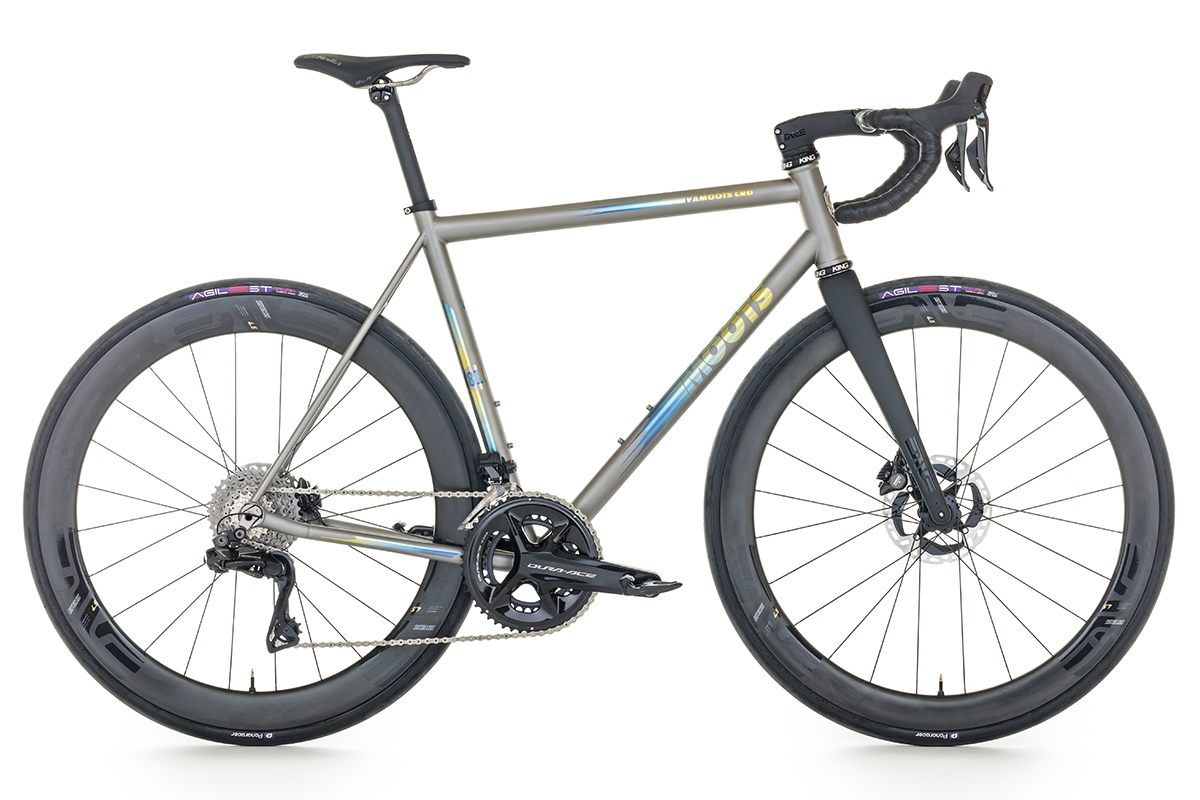
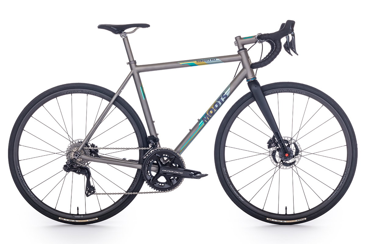
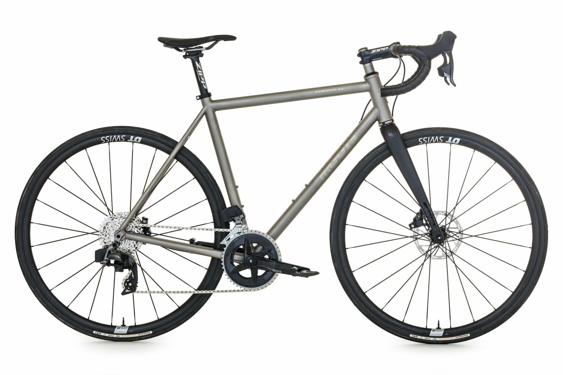
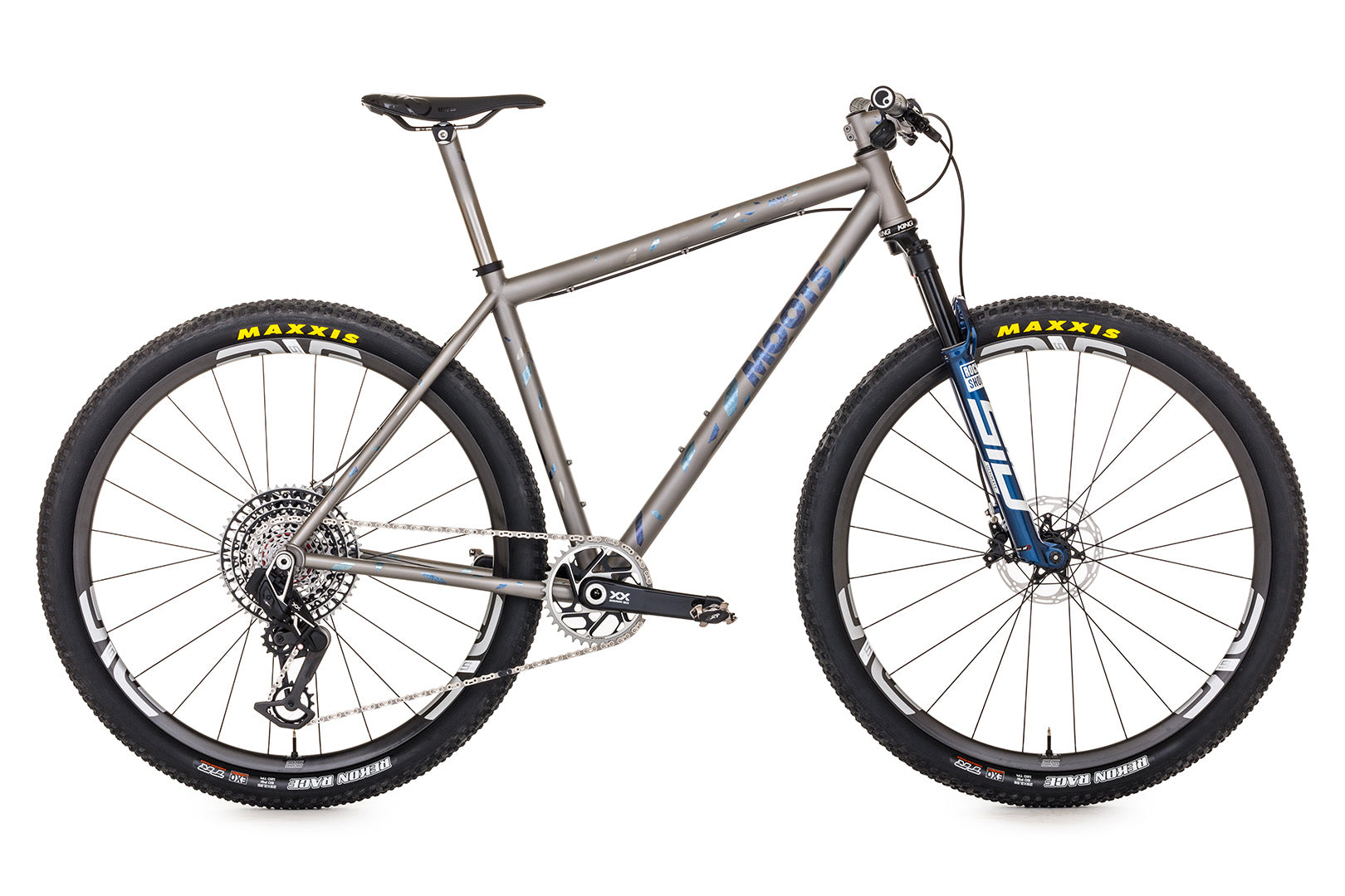
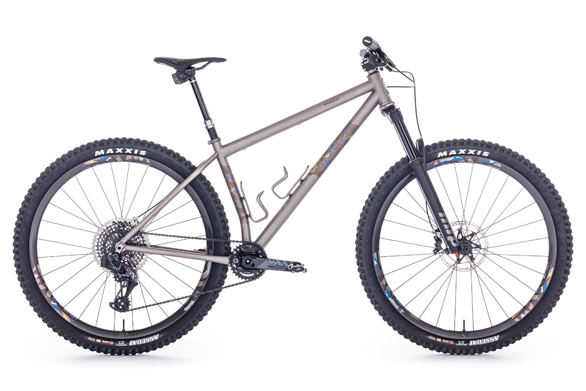
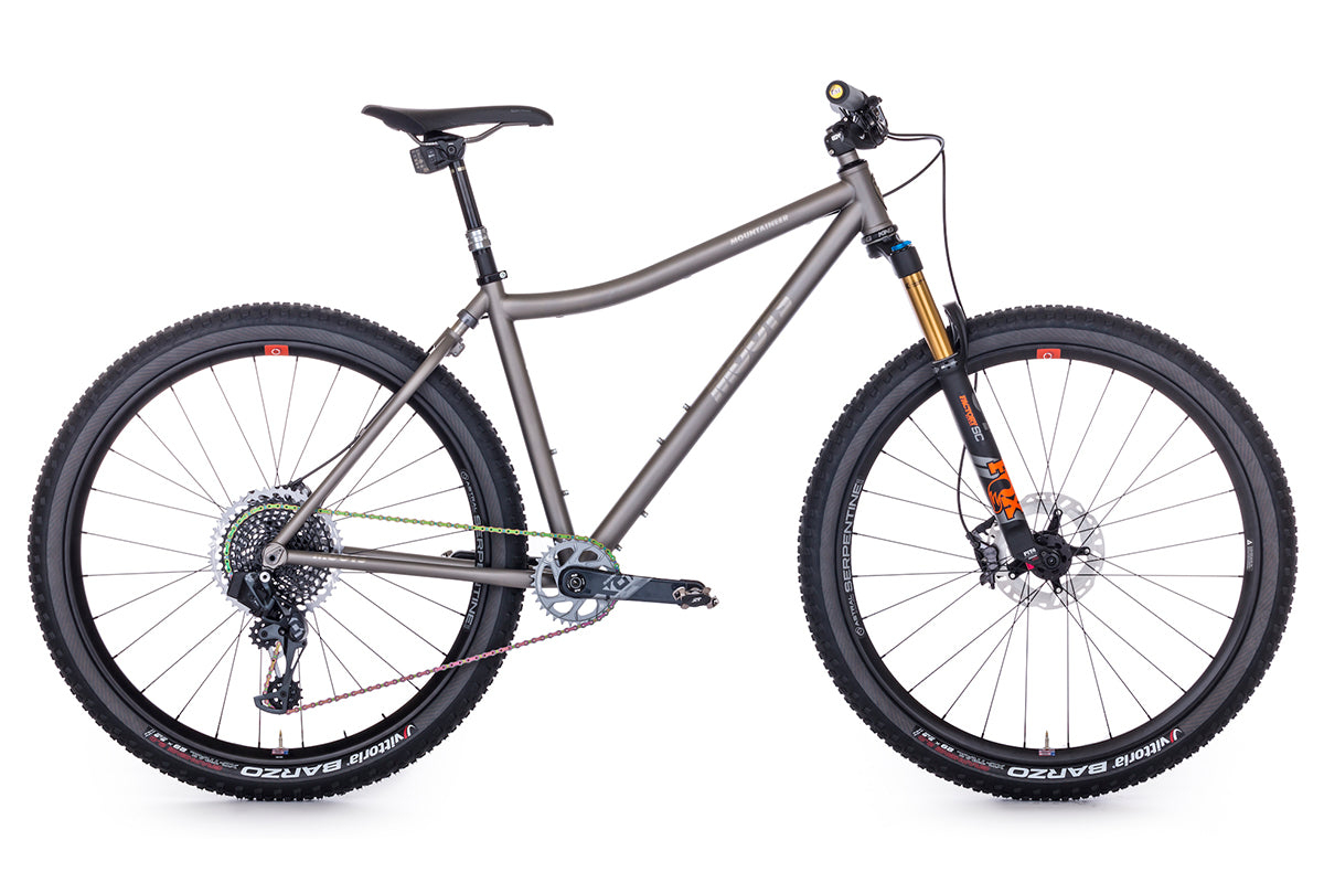
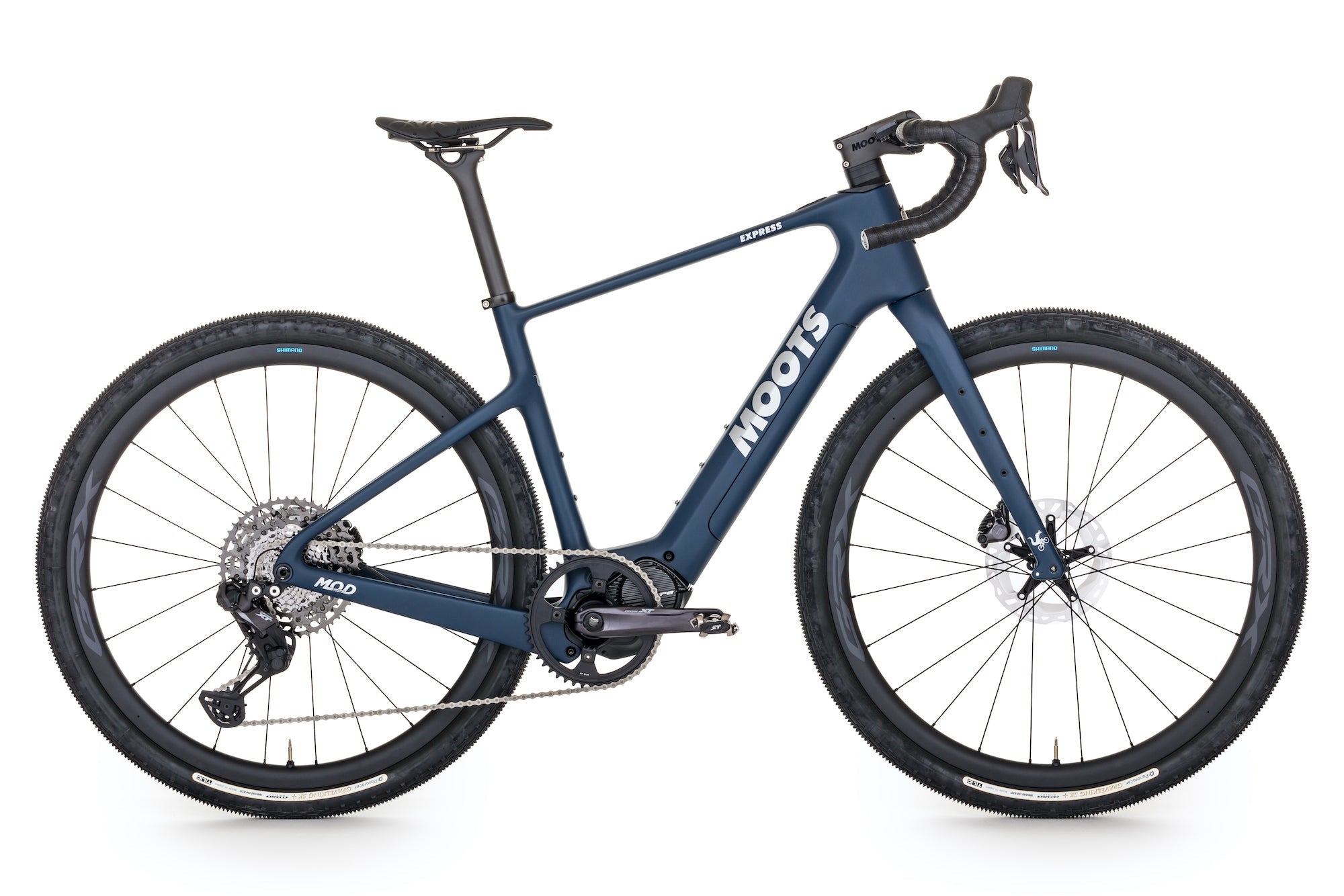
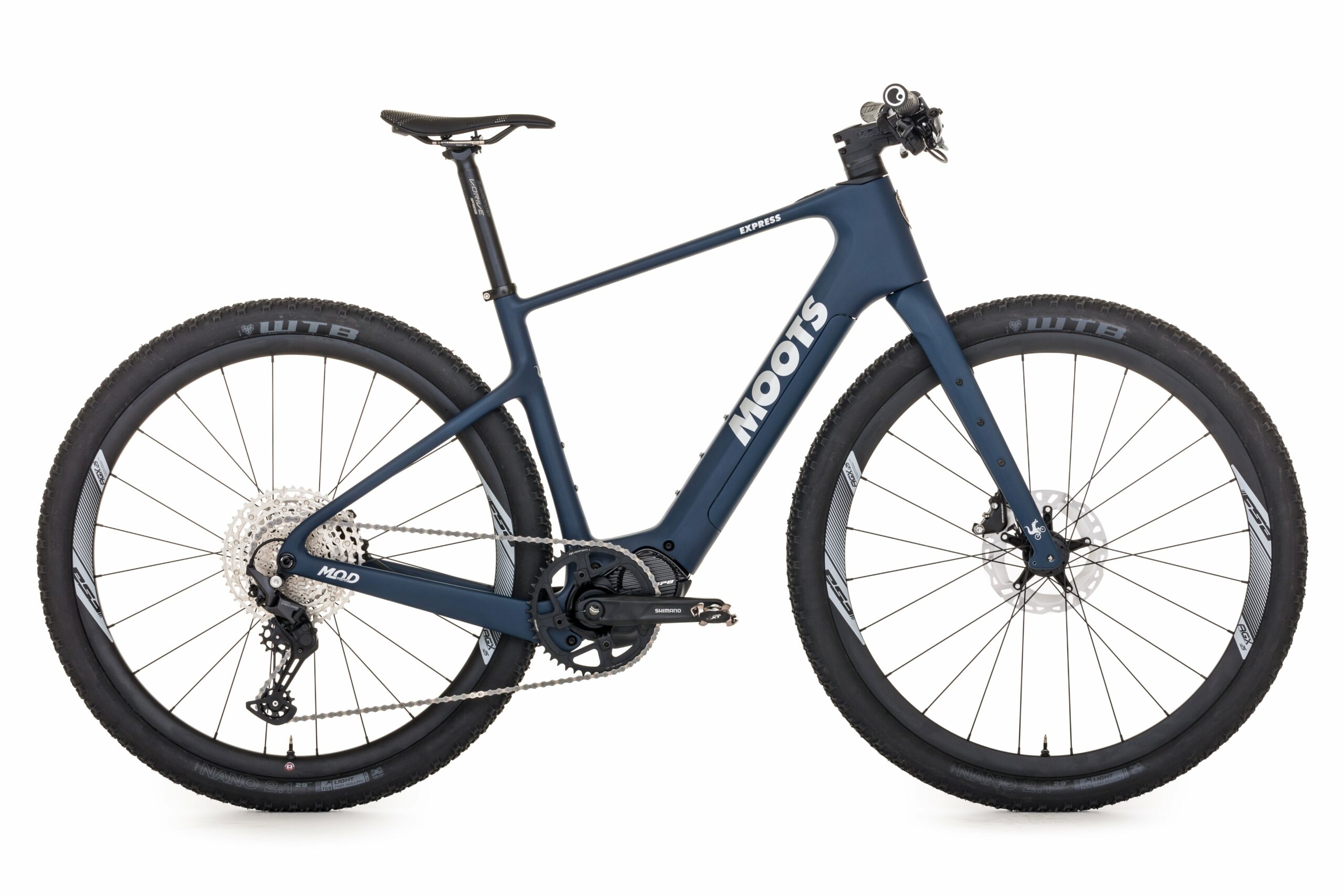
From left to right…the rigs we rode to 12,000+ feet.
Vamoots RD (Jon)
Vamoots (Nate)
Route 45 (Matt)
With limited traffic (and closed roads) before the park officially opens we rolled along the flats to approach the steeper slopes and switchbacks that lie ahead.
A, B, C…….always be crushing! The road rises up through a half dozen switchbacks as the Never Summers keep us company in the background. (Matt & Nate)
Our International Sales Director Matt Alford is always one to stop and smell the roses during our rides. Here he points out the high points of the mountain range that boarders the park to the west.
The Kawuneeche Valley on the west side of the park is the long approach to the real climbing that will take us over 4,000 feet to the hight point on the road, whcih is 12,183 feet or 3713 meters. Matt & Nate climb through the forest and mostly snow free area.
As we climb up, the snow greets us. We traveled with light packs loaded with extra clothes and food.
As the default media guy, I got to haul the big camera, GoPro and my clothes….more weight only makes you stronger right? Nate follows, the mountains take us in.
A large mountain chicken was strutting his stuff along the snow lined road…..it must be spring.
We reached the “official” locked gate at 10,000 feet (Milner Pass, also the Continental Divide)….only 2,100 feet of vertical to go! Note: the white space to the right is a lake in the warmer days of summer. There were bear tracks that went straight across the lake.
Soon after the locked gates we started getting into the big banks of snow. Here Matt gives us an idea how much snow there is….Note: Matt is a solid 6’2” tall….so with arms extended he’s about 8’2” in reach….snow bank about 11-12 feet high.
Nate climbs into the snow-zone.
A fragile harsh world above tree line. At this point we are about 10,500 feet above sea level…no trees and only snow banks for cover from here on out.
A new wheel size “standard”? No, just one of the massive blowers they use to clear the road. The Rocky Mountain National Parks crew starts clearing the road about mid-May and aims to have the entire route open to public by Memorial Day. Once they start, walkers & cyclists are welcome to be on the road behind the locked gates. The staff was more than friendly as we passed. We had to be aware of ice on the road going up as the snow melts and crosses the road, it freezes at night. We had to walk a few sections. On our trip down the ice spots had melted out, but water was in a few places.
There is no camera that does the views justice.
It’s not often that you put more clothes on as you climb….this day the high at 12,183 feet was 28 degrees, with a 30mph wind.
The road into the sky. The drop to the right of Matt is no joke.
Feeling gritty at this point. Nate makes the final push to the high point.
At about 12,000 feet the wind loaded areas had between 15-18 foot walls of snow.
Appropriately named “Iceberg Pass” was our top out point. We took shelter from the wind behind the giant walls of snow. All layers added, we were ready for the plunge back down.
The “Notch”…..Looking west, ready to get lower and warmer.
The ride to the bottom and out of the snow. Matt Alford leans into one of the many switchbacks along the way.
Nate puts his Vamoots to use……
Our crew, L-R…..Jon, Nate and Matt.
We consider ourselves as winners on this day……the saying goes, to the victors go the spoils. Snow bank beers we left in the morning, were consumed to toast our effort.
The ride in numbers:
34—-Miles–out/up and back
4,340 feet or 1323—-meters climbed over 17 miles
1 million—photos taken
4—-post ride beers drank
12,183 feet or 3,713 meters—-maximum altitude reached
4-5 pounds—–the weight of my pack with clothes & camera gear
3-4—-layers of clothing needed
50—maximum speed reached in mph on descent
3—number of hi-fives at the end of the day
